
-
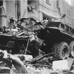
- A picture of the truck that was on Sloane Court when the bomb struck. ID #: 191456

-
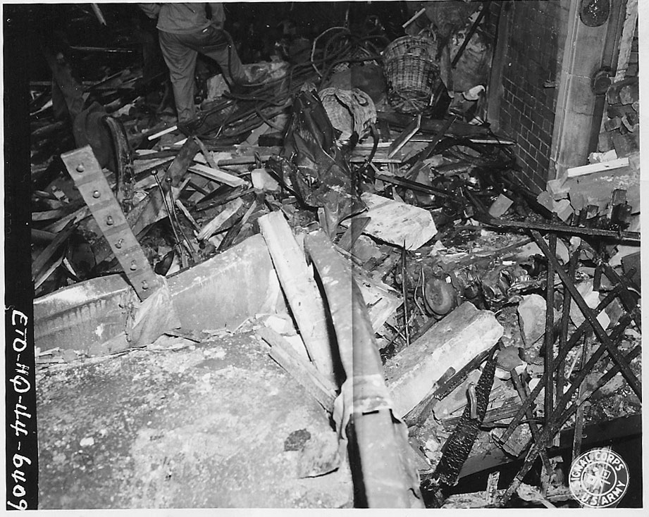
- Debris around the bomb site. ID #: ETO-HQ-44-6409
-
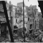
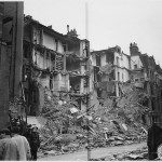
- The buildings on the south side of the street that were destroyed in the blast. In the background is Turks Row, and the building shown includes number 6 Sloane Court East, where the 130th Chemical Processing Company had been stationed. ID #: ETO-HQ-44-6415

-

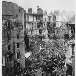
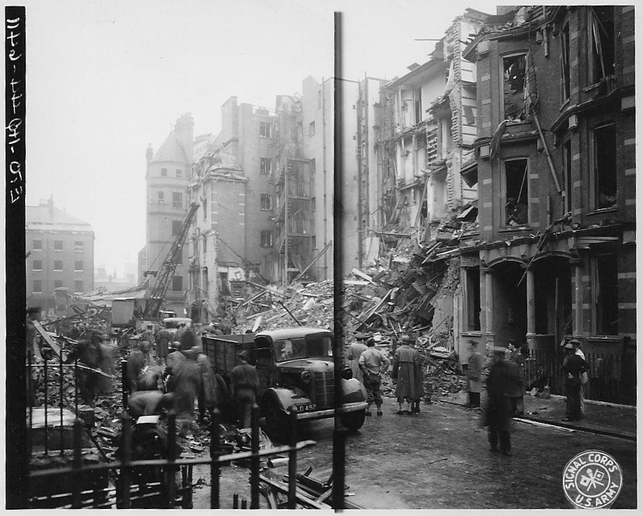
- Response crews begin to clean up the damage. In the background is Turks Row, to the left is the south side of Sloane Court East and to the right is the north side. After the war, these buildings were replaced. ID #: ETO-HQ-44-6412

-
- Another picture of buildings destroyed in the blast. This shows the north side of the street. ID #: ETO-HQ-44-6417

-
- Clean up crews at the scene of the bomb. ID #: ETO-HQ-45-6416
-
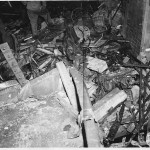
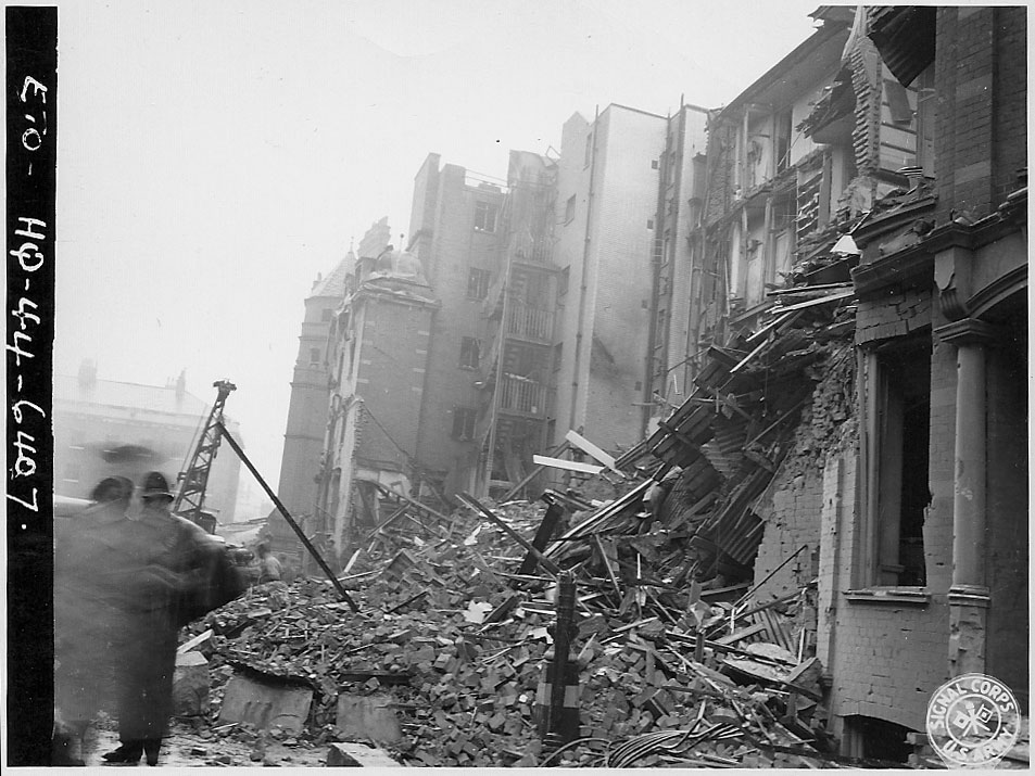
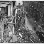
- A street-level photo of the debris on the north side of the street. ID #: ETO-HQ-44-6407
-
- Crews begin to clean up after the damage from the bomb. Displayed is the north side of the street. ID #: ETO-HQ-44-6414

-
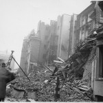
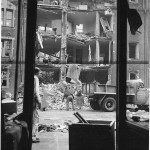
- A picture of men taking in the damage from the street-level. ID #: ETO-HQ-44-6411
-
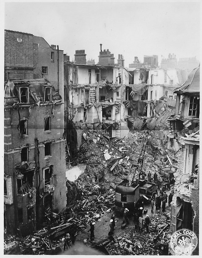
- A bird’s eye view of the damage. In the background is Royal Hospital Road; to the right is the south side of the street. ID #: 206748

-
- Another view of the damage. “Officials from the War Debris Survey from the Architect’s Department of the London County Council check the Turks Row building at the point where the explosion has blasted out both walls.” (1) ID #: 191957A

-

- Amidst the chaos, a tree still stands, its leaves intact. ID #: ETO-HQ-44-6410 CAMERA EQUIPMENT: Agfa Superpan
